DAY 4
Reykjavík to Vík
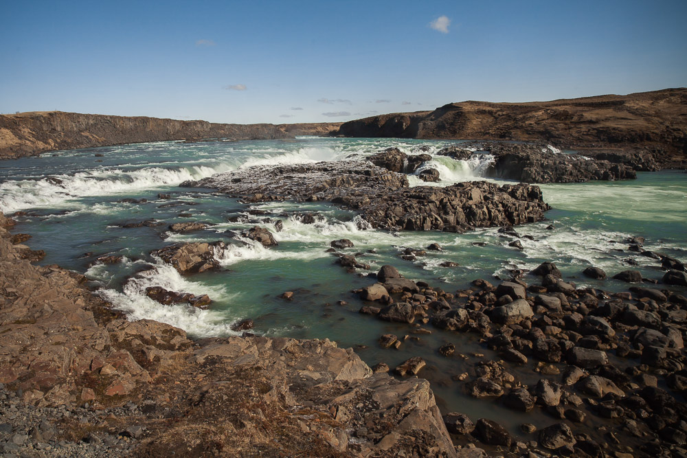
First day of the journey around the island. Direct it's about 185km, but with detours off the Ring Road, today ended up being around 250km. First part of the day is steady driving, finally stopping to take a look at Urrigafoss - a waterfall I hadn’t planned on seeing, but you learn that when you see a sign with the clover icon (like the command-key symbol on a Mac) and that sign has a “foss” at the end of it, you stop and see what’s down that road.
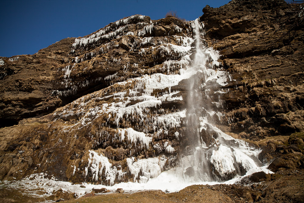
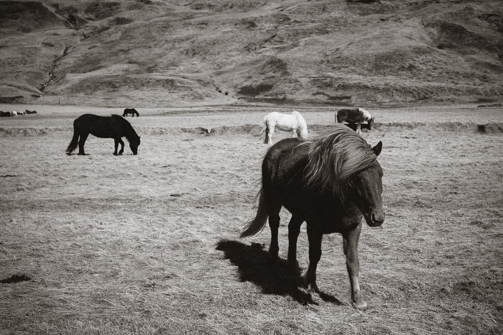
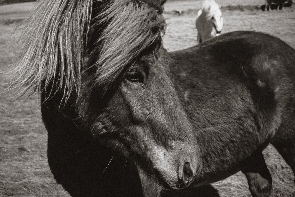
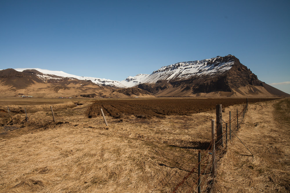
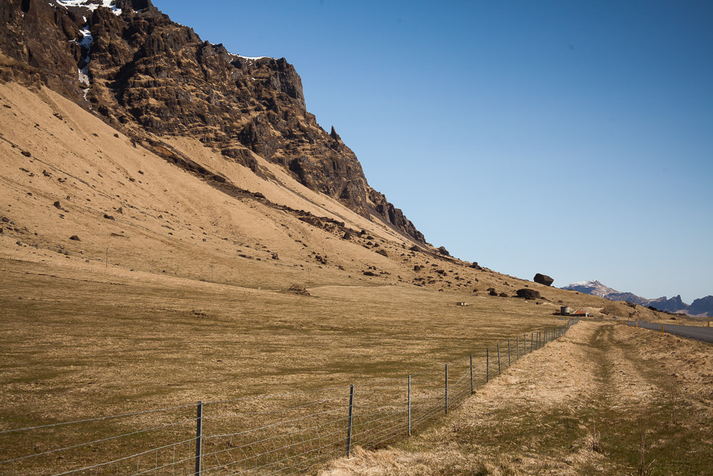
Further along we decided to exit Hwy 1 at Hvollsvöllur and take 261, which goes to a hiking and glacier area called Þorsmork, although there was no way we could go that far without fording rivers and general driving into areas well beyond the capacity of the car. We’d take it as far as we could go, then turn around. Along the way we came across multiple waterfalls along a ridge in the valley, the ice around them melting and crashing apart in the sun. This was the first relatively wind-less day, and although it was still only 35F out, it felt like spring after the first three days of relatively steady cold wind. The road ended with a lot of warning signs and deep gravel, which was our signal to turn around and take the gravel roads through the farms (stopping to say hi to more horses) and back to the 1.
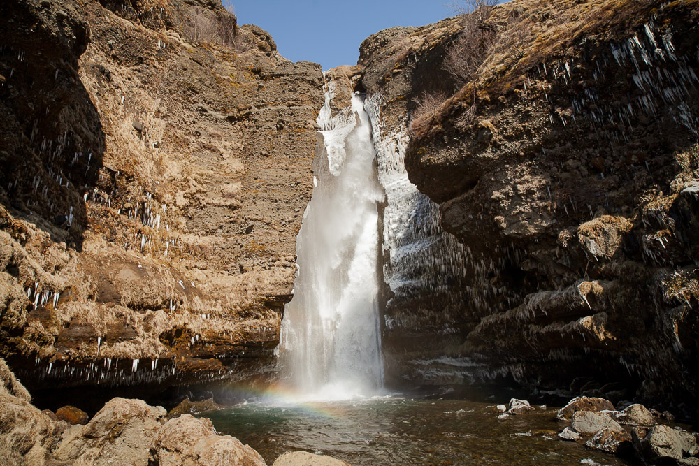
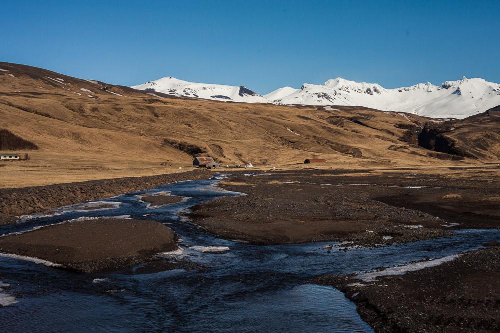
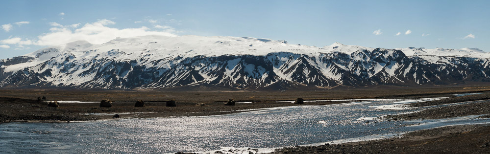
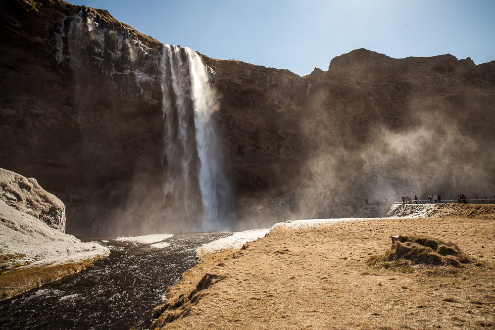
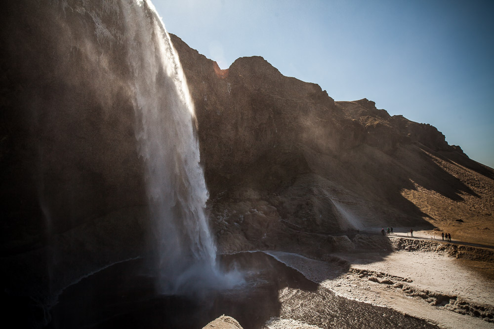
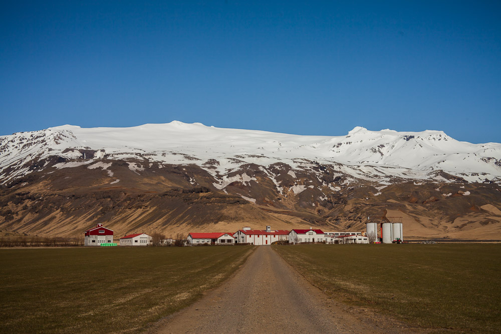
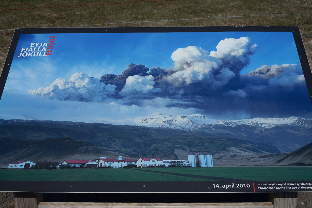
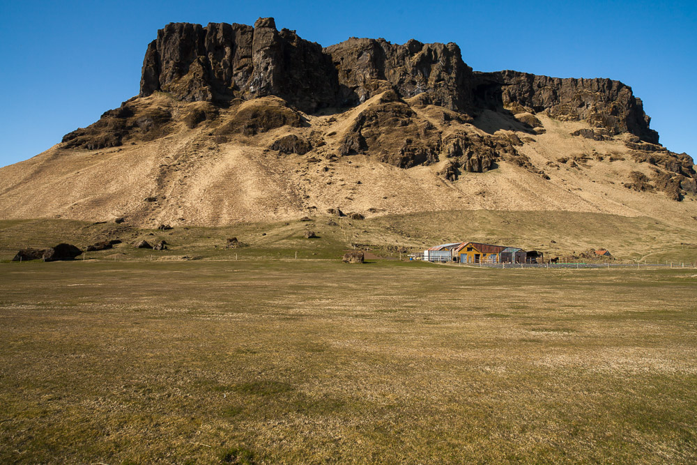
As you get close to the 1 it feels like you’re turning a corner around the base of Eyjafjallajökull (the volcano that erupted a few years ago and shut down all air travel in Europe for days) and starting along the southern shore of Iceland. Back on the Ring Road, you immediately arrive at Seljalansfoss and Gljufurafoss, two majestic waterfalls. Just as I’m driving the access road to Seljalandafoss, a police car screams past me, followed by an ambulance...then about 5 other emergency vehicles. Turns out someone decided to take the trail that goes behind the waterfall, regardless of the fact that winter still hasn't left Iceland this year and the path was completely covered in ice. Through the spray of the falls we could see the person lying on their side while about 12 emergency personnel slipped and slid their way to reach them. Whoever it was must have been soaked and frostbitten, and most likely ended their vacation in an dumb instant.
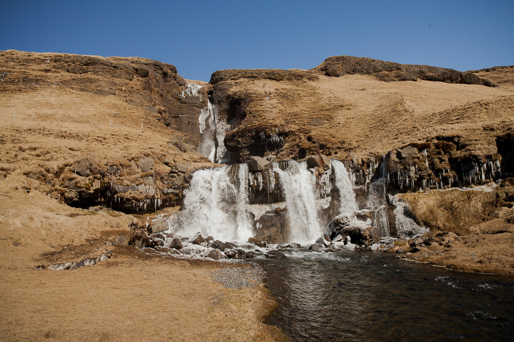
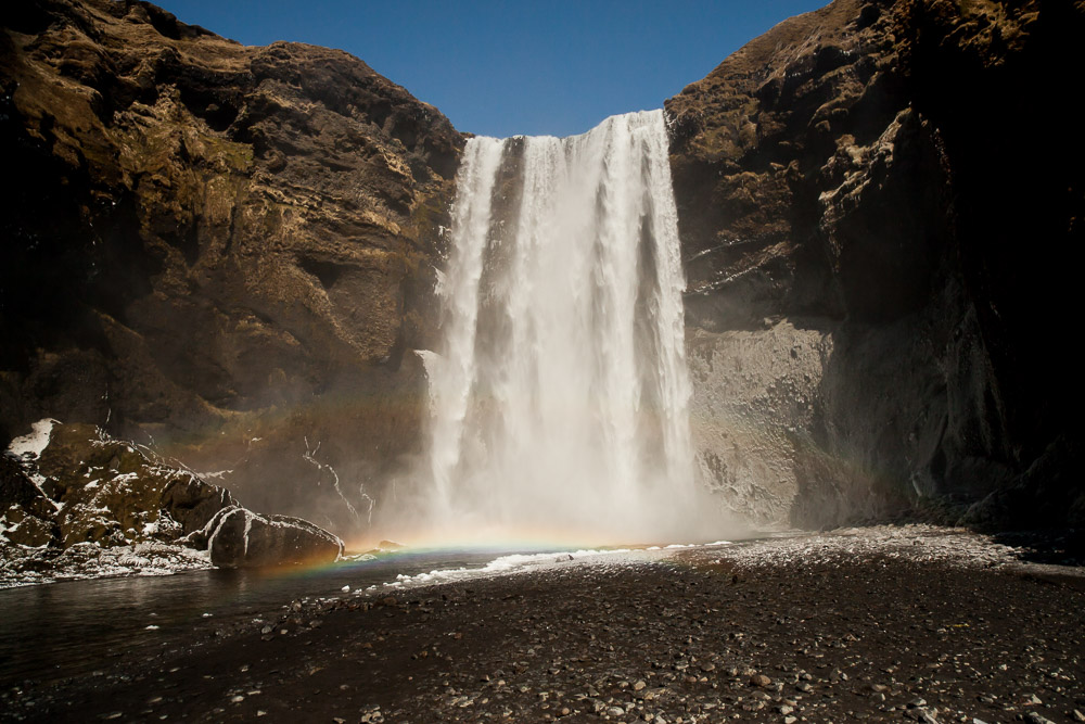
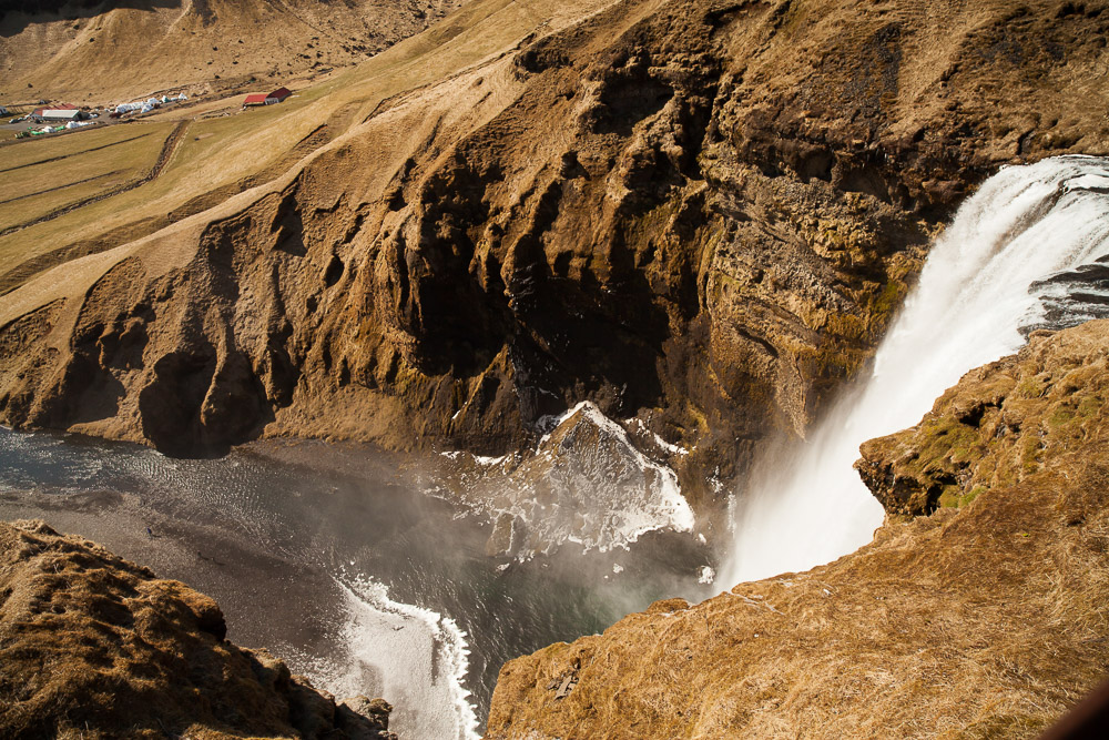
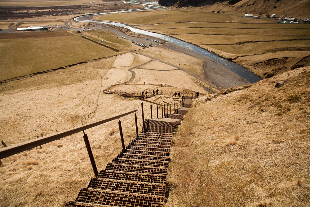
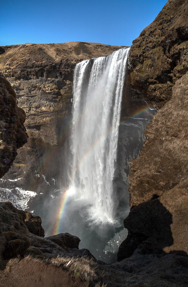
Further down the road is Skógafoss, which looks like the dictionary definition of a waterfall, plus it has a long staircase to the top, so you can work off all that Gull lager you’ve been putting down. If you can rate attractions by the amount of people taking innumerable selfies, Skógafoss would be in the top five.
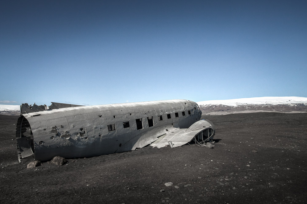
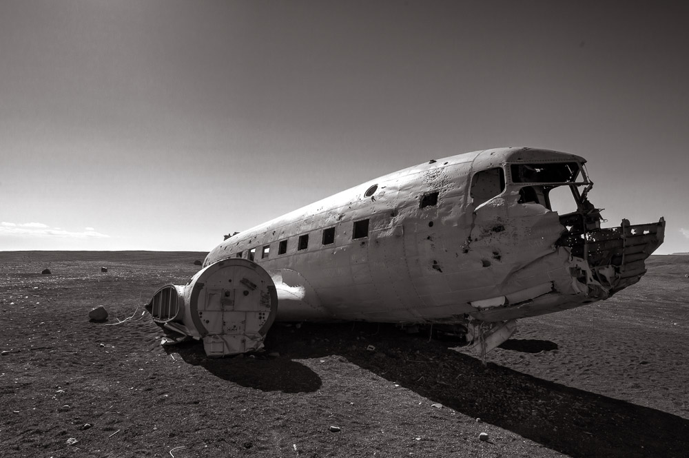
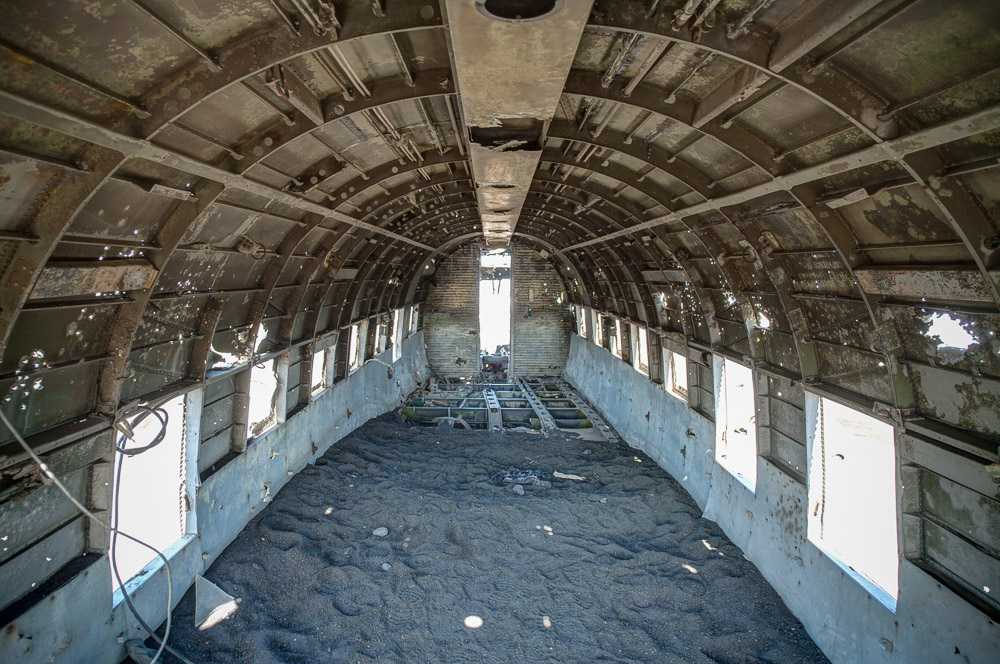
An unmarked turn off the 1 takes us about 2km down a barely marked and bumpy ride across black rock and sand to a crashed US Navy DC-3. In 1973 the pilot had fuel trouble and put it down on the flat black sand. Everyone survived, and the wreck is still out there, 40+ years later.
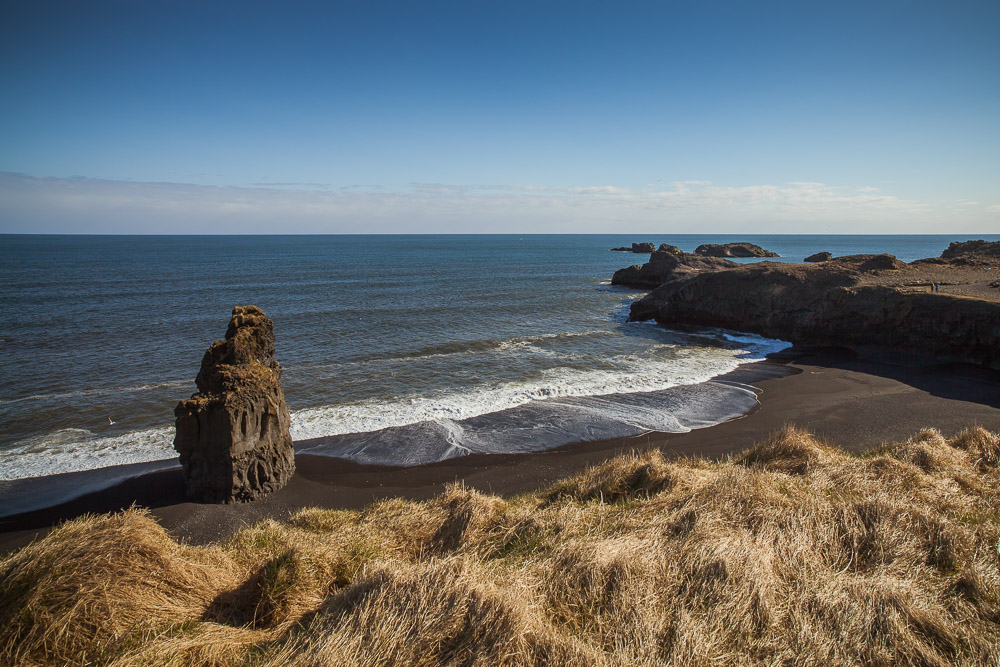
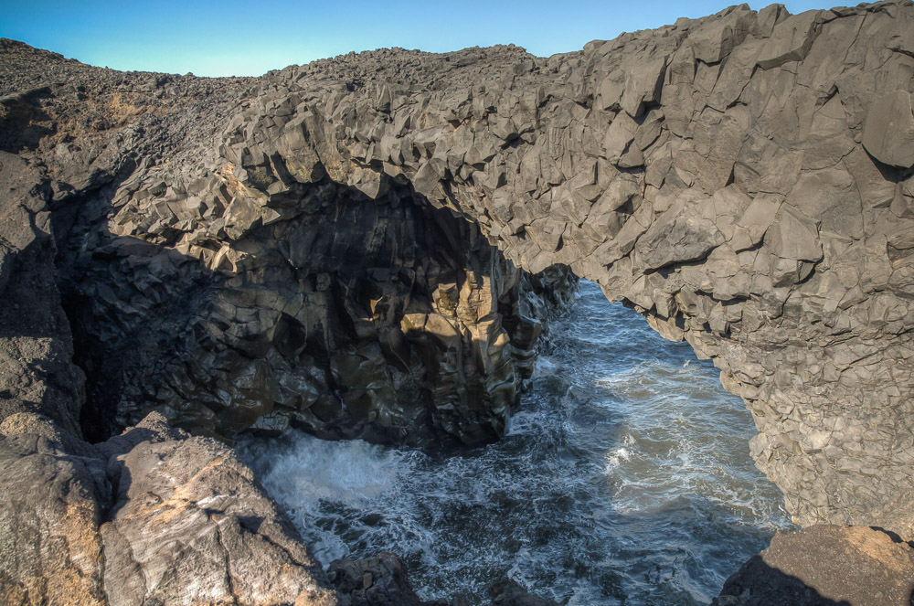
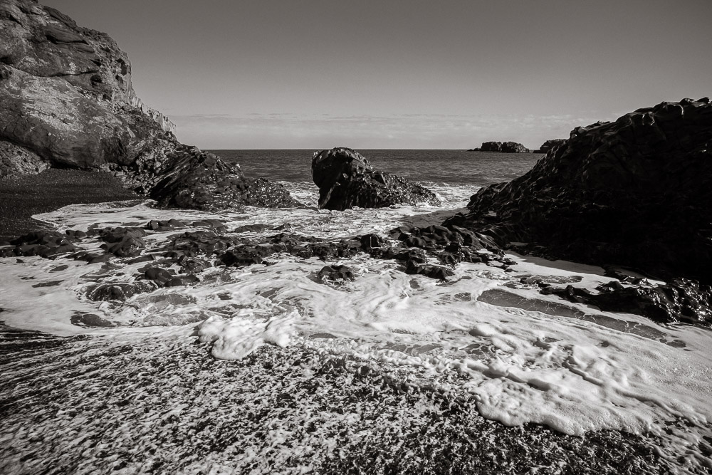
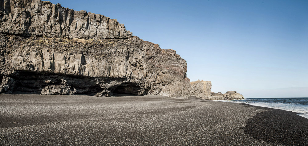
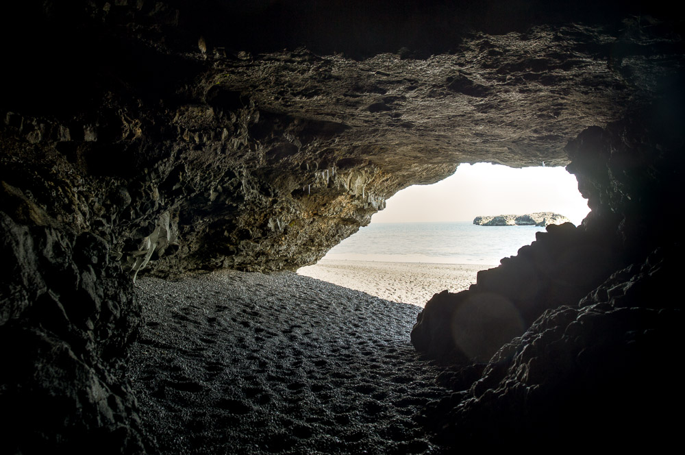
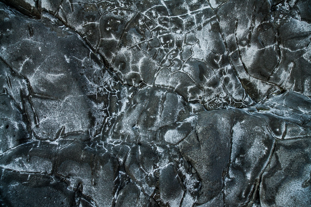
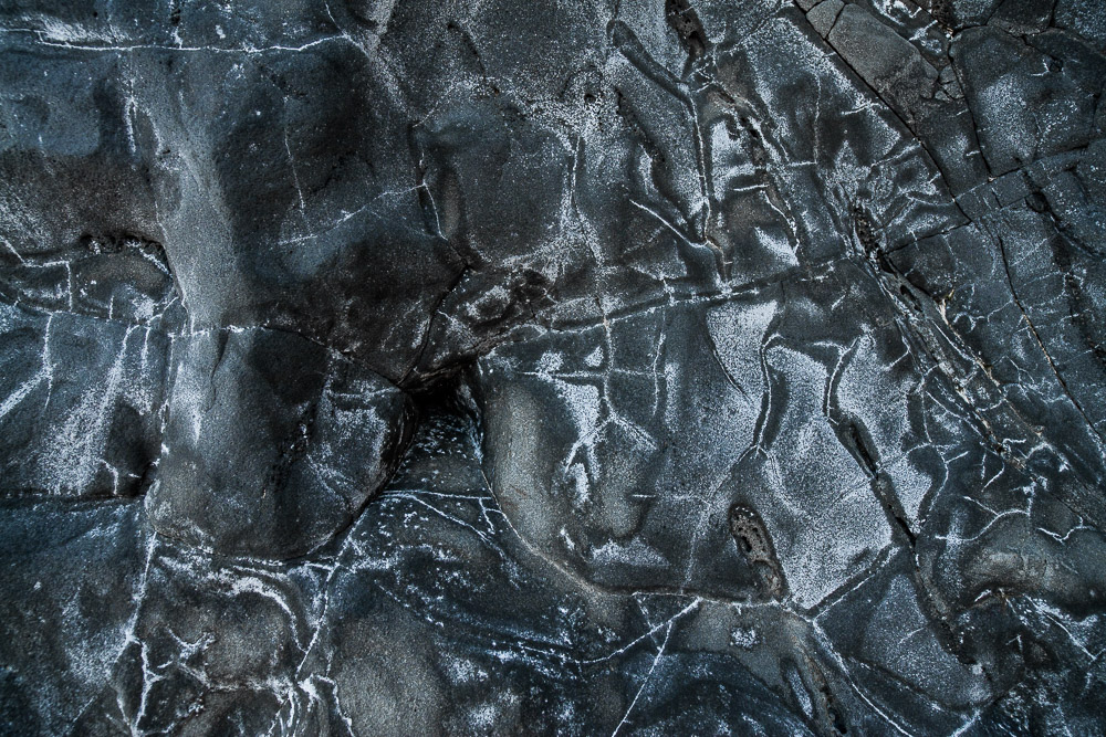
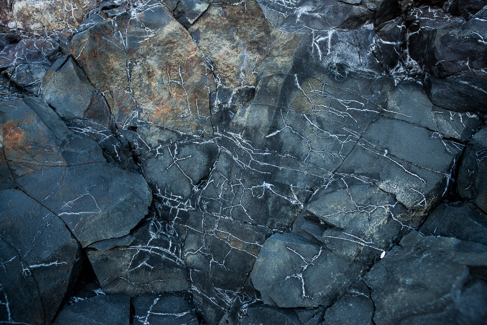
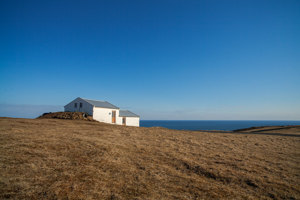
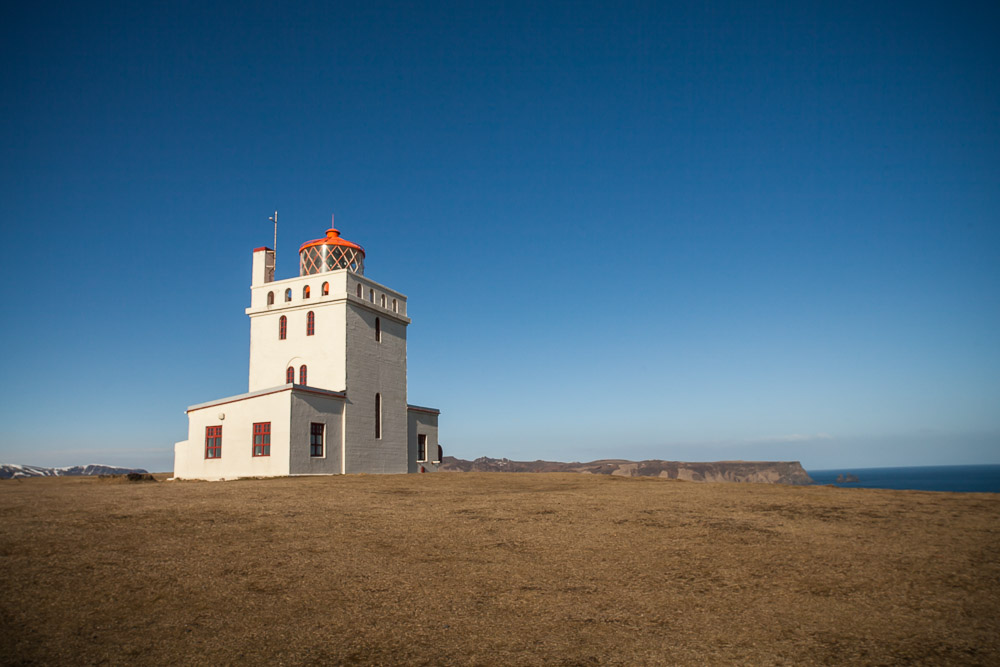
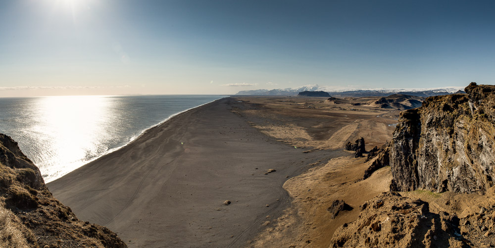
Nearing Vík, we stop at Dyrholæy nature reserve, full of birds, black sand beaches, basalt caves, and a viewpoint looking back along the beach toward where we started the day. Today was roughly an entire vacations-worth of sights and experiences, packed into about 12 hours.