DAY 9
Eskifjörður to Akureyri
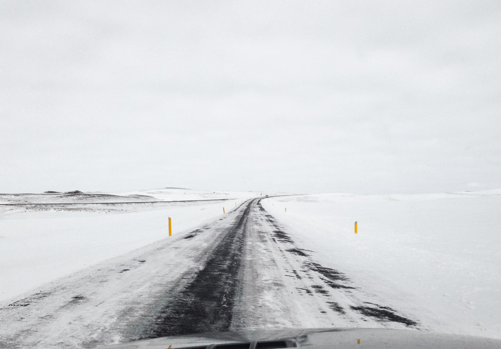
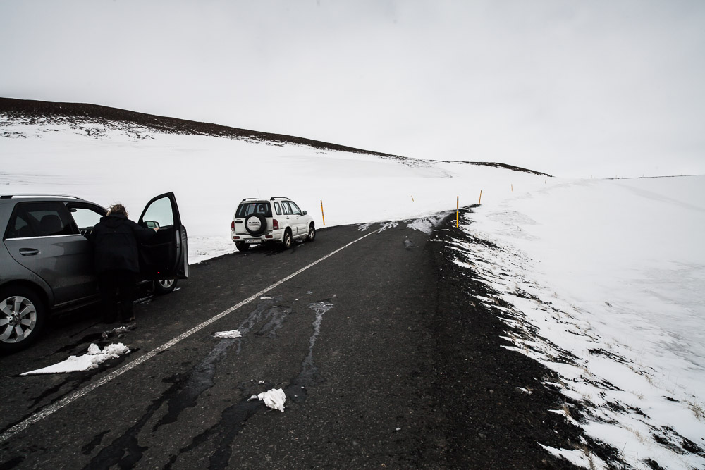
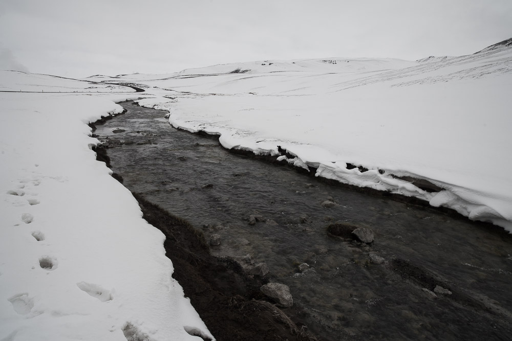
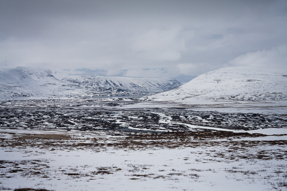
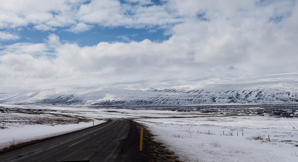
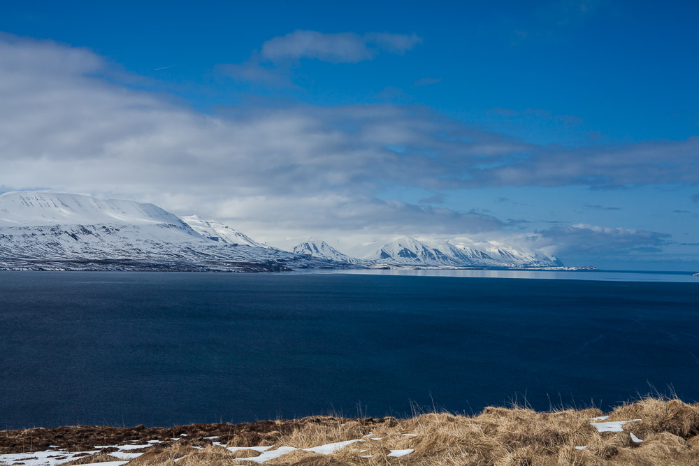
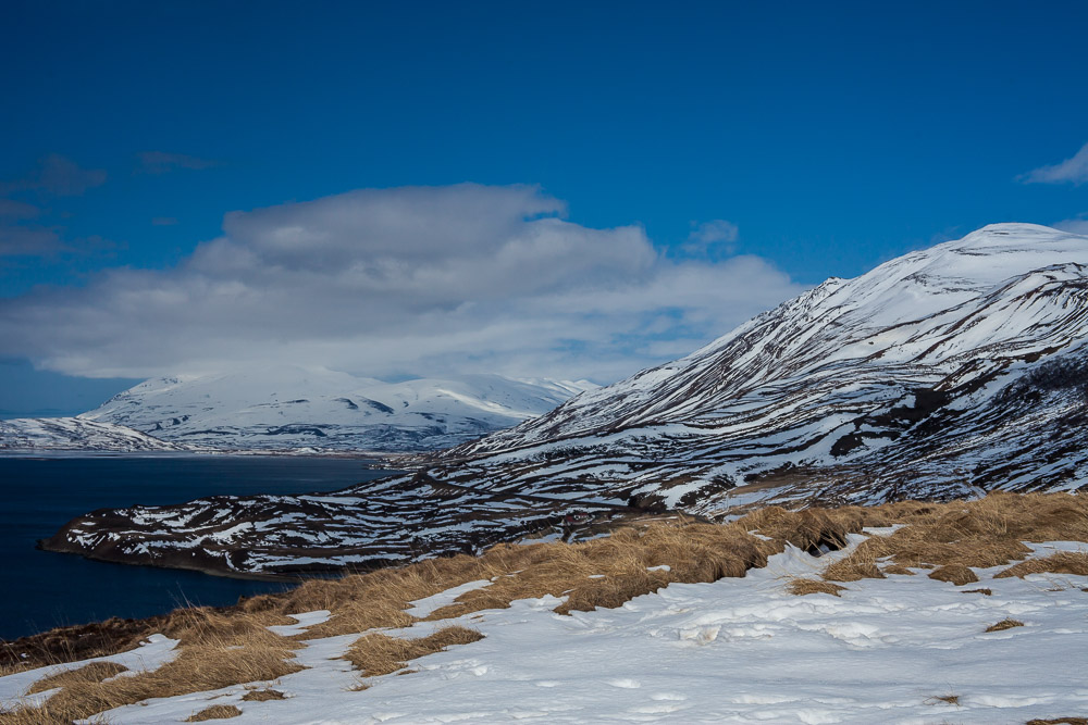
If you’re driving around Iceland, there are two websites you check every morning: Vegagerðin, the Icelandic Road Authority that keeps an superbly accurate and regularly updated map of road conditions, and Belgingur, which lets you know how much wind and precipitation you’ll be fighting. For roads, green is good, red is no go, and blue/yellow/white means you’ve got to be on guard. Today was a blue/yellow/white day for about 200km. Leaving the East Fjords across the hills of North Iceland, the landscape turned nearly solid white, and the road was a mess of wet snow and ice.
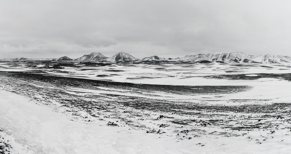
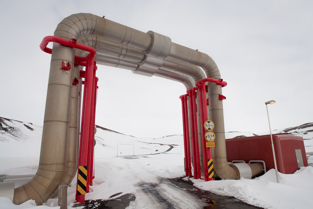
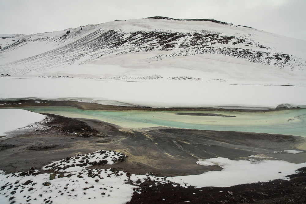
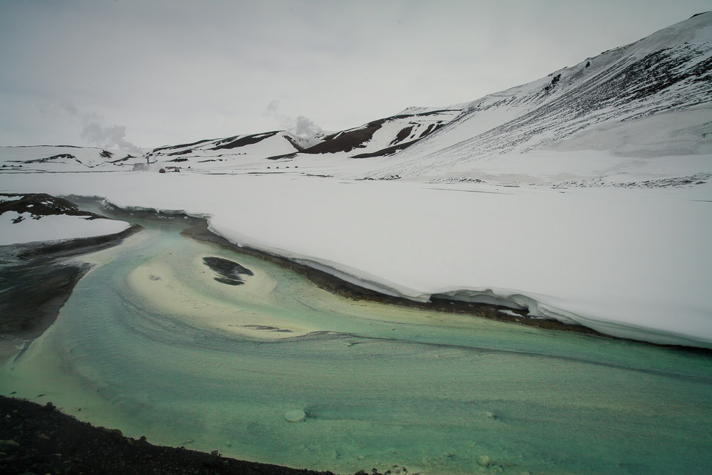
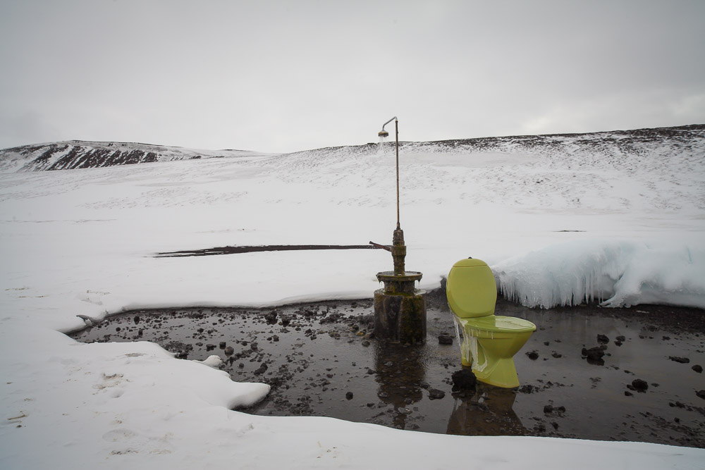
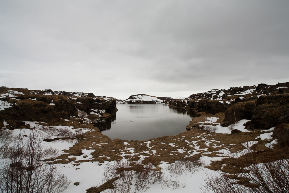
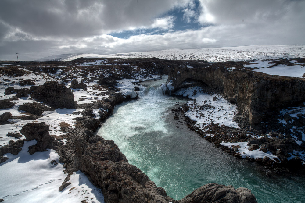
After a couple of hours the road finally went dry and I saw steam rising from the ground - we had gotten to Krafla, a geothermal plant beyond which there is the hike to the Viti crater. We got nearly close enough, but the road suddenly ended in a snow bank - so we turned tail and made our way out, but not before spotting a very foul smelling blue-green river winding its way through the snow, as well as a shower spouting warm water with a lime-green loo in the middle of a snowy field.
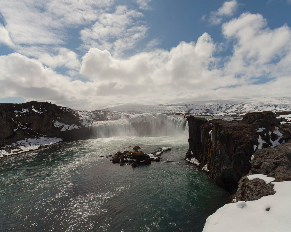
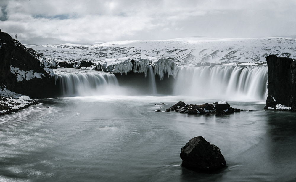
We were coming back to this area the next day, so we took a preview tour of Lake Mývatn and stopped for a bit at Goðafoss, probably my favorite waterfall so far in the trip.
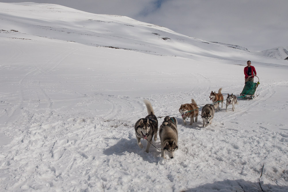
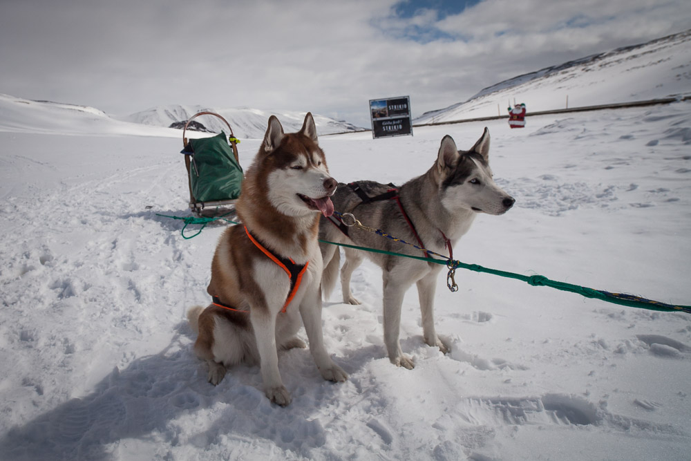
Just outside of Akureryi, there was a trail leading through the snow that looking like snowmobile tracks, but a minute later we saw the source - a dog sled of 6 dogs making its way across the hills. We pulled into the next parking area and watched him bring the sled in. When the show is good and cold he goes 60km up to the town of Dalvík. It’s warming up and the snow is slow, so only 20km today…
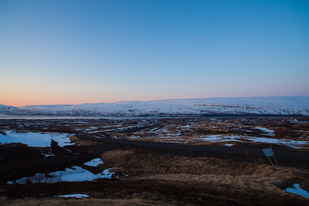
After pulling into Akureyri, the second largest city in Iceland, we realized that we encountered the first stop light we've seen since Reykjavík.